 Accessing PNHP Information
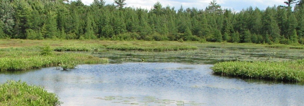
There are a variety of ways to find and access publicly available Pennsylvania Natural Heritage information collected by our scientists. Generally, this information is either organized by 1) focal elements of biodiversity (e.g. species or ecological communities), or 2) location (e.g. site of a population or a region of Pennsylvania).
PNHP data and project information organized by focal elements of biodiversity are available in the Species and Natural Features, Plant Factsheets, Ecological Communities, Climate Change Vulnerability Index, and Vernal Pools sections of the PNHP website.
Those interested in viewing PNHP data and learning about our projects by searching specific locations for ecological features of interest can navigate the Conservation Explorer Map, County Natural Heritage Inventory reports, Publicly-accessible Natural Heritage Areas Story Maps, and PNHP Projects Story Maps.
Some data is considered sensitive because it is vulnerable to misuse. Users may request sensitive or spatial data necessary for a specific project and agree to follow data-sharing requirements. For more information on this process, visit our Submit and Request Data page.
Frequently Asked Questions
Running a PNDI search on the Pennsylvania Conservation Explorer screens for potentially impacted threatened and endangered species, special concern species, and significant ecological features in the vicinity of a project area. The results of the search are summarized in the PNDI receipt. A review by agency biologists may reveal more or fewer species than what is listed in the PNDI receipt.
Many DEP permit applications require a PNDI receipt from the Pennsylvania Conservation Explorer web application. The PNDI receipt lists potential impacts to threatened and endangered species, special concern species, and significant ecological features. The PNDI receipt may require an environmental review by one or more jurisdictional agency. As a result of the review, the applicant may be directed to complete a species survey or habitat assessment. Upon completion of agency coordination, the applicant receives a clearance letter that may include avoidance measures, minimization or mitigation, and monitoring requests.
Natural Heritage Areas are available on the Pennsylvania Conservation Explorer. Using the interactive map, anonymous and registered users can view Natural Heritage Areas and relevant site descriptions in their neighborhood.
The species lists available on the PNHP website can be filtered by county. County Natural Heritage Inventories include maps, images, and lists of species and natural communities present in each county. The Natural Heritage Areas featured in the county inventories can be viewed and queried in the Pennsylvania Conservation Explorer.
The Pennsylvania Conservation Explorer’s Conservation Planning Report, County Natural Heritage Inventories, and the Conservation Opportunity Area Tool identify local conservation opportunities and provide management recommendations. The Pennsylvania Statewide Comprehensive Outdoor Recreation Plan helps communities develop outdoor recreation that connects citizens with the natural world. Additional resources are available on the Pennsylvania Land Trust Association’s Conservation Tools website.
Pennsylvania's Wildlife Action Plan provides a proactive conservation blueprint to protect mammals in the state. The associated Conservation Opportunity Area Tool provides site specific management recommendations for wildlife.
The environmental review list on the PNHP website includes a comprehensive list of threatened, endangered and special concern plants. Additional information is available on the Pennsylvania Department of Conservation and Natural Resources website.
Pennsylvania Conservation Explorer’s Conservation Planning Report, County Natural Heritage Inventories, and the Conservation Opportunity Area Tool identify local conservation opportunities.
Submit a data request to the Pennsylvania Natural Heritage Program.
The iMapInvasives website tracks invasive species in Pennsylvania and includes county-level maps of invasive species locations.
The Pennsylvania Statewide Comprehensive Outdoor Recreation Plan helps communities develop outdoor recreation that connects citizens with the natural world.
The Pennsylvania Land Trust Association’s Conservation Tools Library is a comprehensive resource for communities and citizens interested in conserving lands.
Pennsylvania's State Wildlife Action Plan and the Conservation Opportunity Area Tool provide habitat associations for species of greatest conservation need.
The PNHP website’s Vernal Pools section features educational materials, ecological information and best management practices.
The Climate Change Vulnerability Index ranks species exposure and sensitivity to climate change.
The Department of Environmental Protection maintains a list of High Quality and Exceptional Value Waters. In addition, the PA Fish and Boat Commission classifies streams supporting trout populations. Classifications include Class A Wild Trout Streams, Wild Trout Streams (Natural Reproduction), and Wilderness Trout Streams. These stream classifications are available as a map layers on the Pennsylvania Conservation Explorer’s interactive map. Exceptional Value Waters and Class A streams are included in the Conservation Planning Report.
The NatureServe Explorer website tracks the conservation status of species throughout the United States and Canada.


