Statewide GIS Data Layers

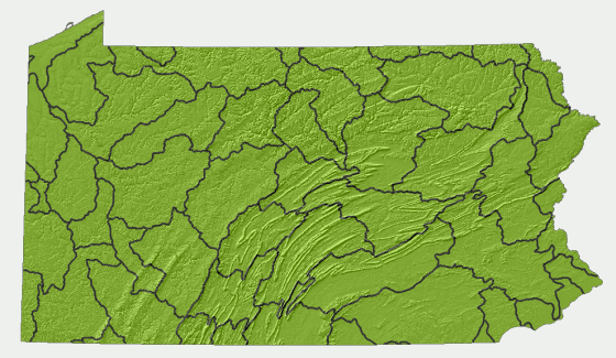
The following shapefiles are availabe as zip files. Alternatively, you may download the data by HUC 8 watershed here. The symbology developed by the ACC scientists are included as Layer files (.lyr). For help using layer files in ArcMap projects, click here.

HUC 8 GIS Data Layers

The following links package the statewide GIS shapefiles by HUC 8 watershed. To download the zipped GIS shapefiles right-click a HUC 8 watershed from the map or the list below.

Watershed Name Code Size
Upper Delaware20401013.3mb
Lackawaxen20401032.3mb
Middle Delaware-Mongaup-Brodhead20401045.7mb
Middle Delaware-Musconetcong20401054.1mb
Lehigh20401064.1mb
Crosswicks-Neshaminy20402011.9mb
Lower Delaware20402024.1mb
Schuylkill20402036.3mb
Brandywine-Christina20402052.9mb
Upper Susquehanna20501017.2mb
Owego-Wappasening20501034.0mb
Tioga20501043.6mb
Chemung20501053.3mb
Upper Susquehanna-Tunkhannock20501067.5mb
Upper Susquehanna-Lackawanna20501075.7mb
Upper West Branch Susquehanna20502015.5mb
Sinnemahoning20502023.9mb
Middle West Branch Susquehanna20502032.4mb
Bald Eagle20502042.1mb
Pine20502053.1mb
Lower West Branch Susquehanna20502065.9mb
Lower Susquehanna-Penns20503014.7mb
Upper Juniata20503023.1mb
Raystown20503033.6mb
Lower Juniata20503045.1mb
Lower Susquehanna-Swatara20503056.0mb
Lower Susquehanna20503068.3mb
Chester-Sassafras20600024.3mb
Gunpowder-Patapsco20600033.5mb
North Branch Potomac20700024.4mb
Cacapon-Town20700035.0mb
Conococheague-Opequon20700046.9mb
Monocacy20700093.1mb
Ashtabula-Chagrin41100031.2mb
Chautauqua-Conneaut41201013.1mb
Upper Genesee41300024.4mb
Upper Allegheny50100018.0mb
Conewango50100022.1mb
Middle Allegheny-Tionesta50100034.9mb
French50100044.9mb
Clarion50100054.8mb
Middle Allegheny-Redbank50100066.3mb
Conemaugh50100074.9mb
Kiskiminetas50100081.9mb
Lower Allegheny50100091.8mb
Upper Monongahela50200032.1mb
Cheat50200044.3mb
Lower Monongahela50200055.3mb
Youghiogheny50200065.9mb
Upper Ohio50301017.6mb
Shenango50301024.4mb
Mahoning50301034.6mb
Beaver5030104566kb
Connoquenessing50301053.3mb
Upper Ohio-Wheeling50301065.4mb
PNHP is a partnership between The Department of Conservation and Natural Resources,
the Pennsylvania Game Commission, the Pennsylvania Fish and Boat Commission,
and the Western Pennsylvania Conservancy.
DCNR Home Page
PA Game Commission Home Page
PA Fish and Boat Commission Home Page
Western PA Conservancy Home Page
DCNR Home Page PNHP | Forestry Home | Contact Us | Search This Site
© 2019 PA Department of Conservation and Natural Resources
DCNR Home Page