Silver Maple Floodplain Forest
System: Palustrine
Subsystem: Forest
PA Ecological Group(s): River Floodplain
Global Rank:GNR
![]() rank interpretation
rank interpretation
State Rank: S4
General Description
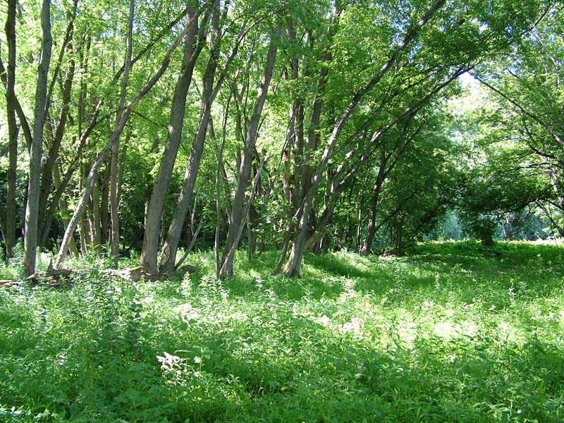
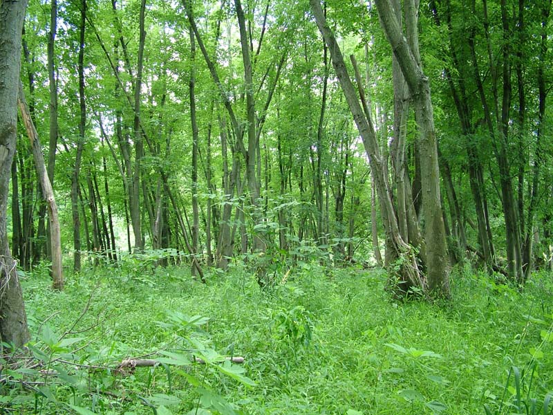
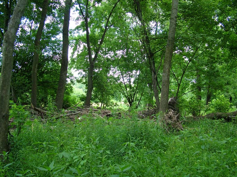
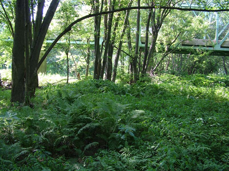
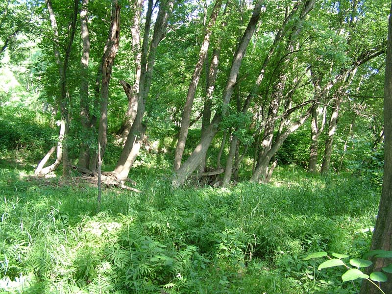
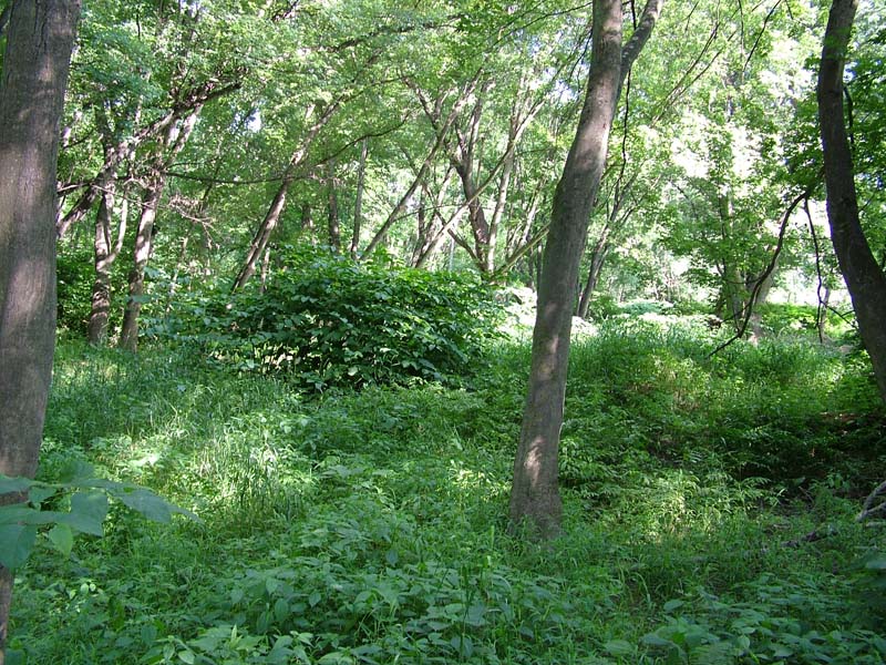
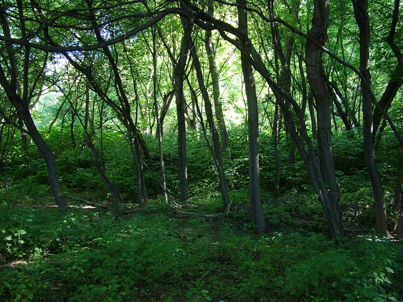
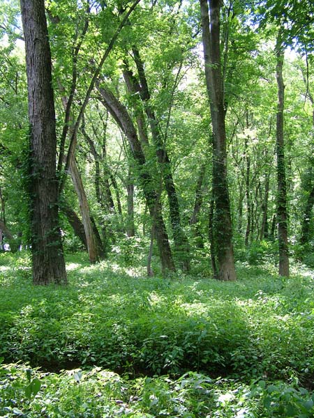
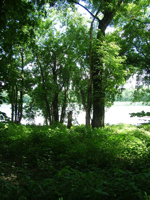
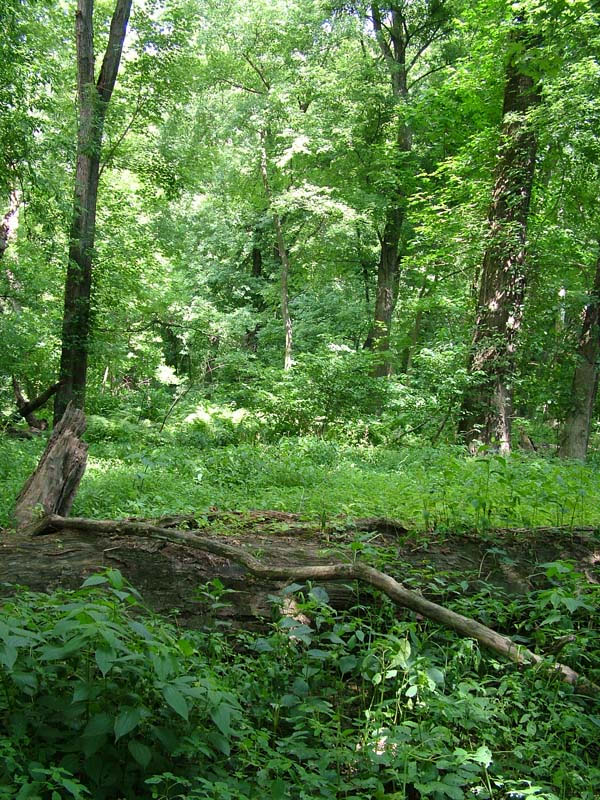
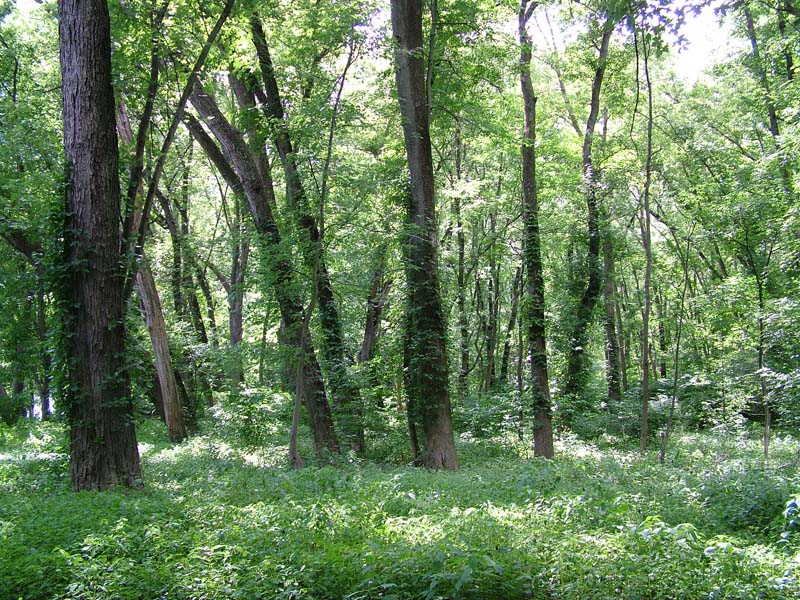
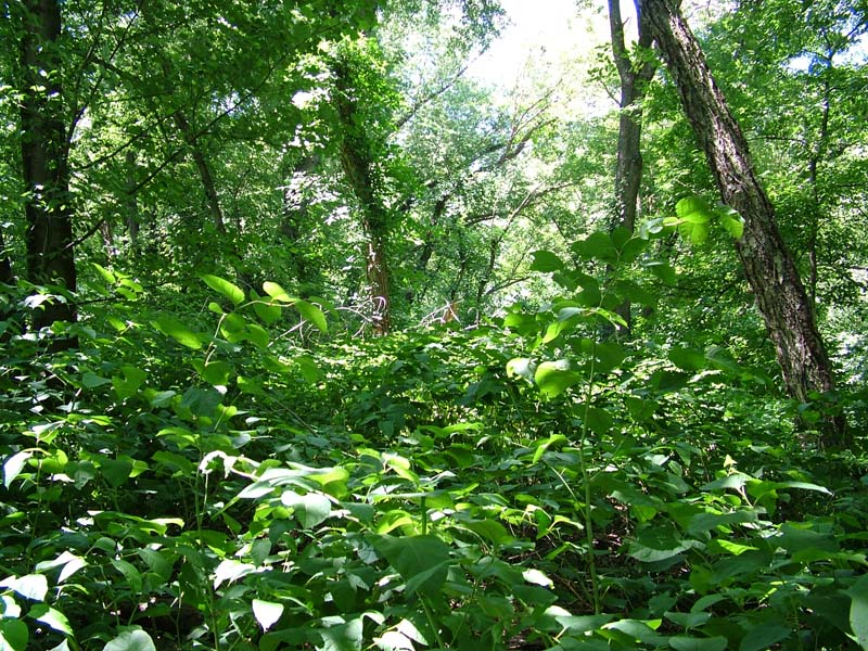
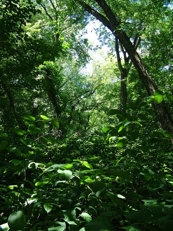
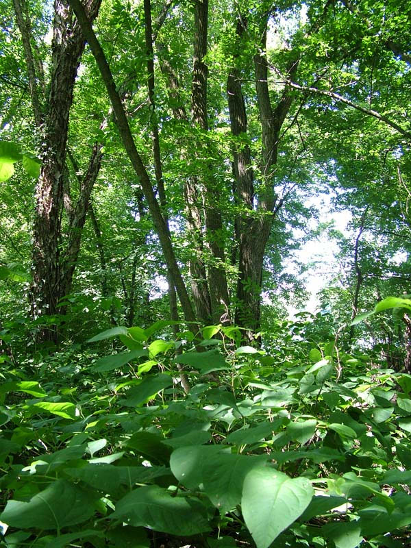
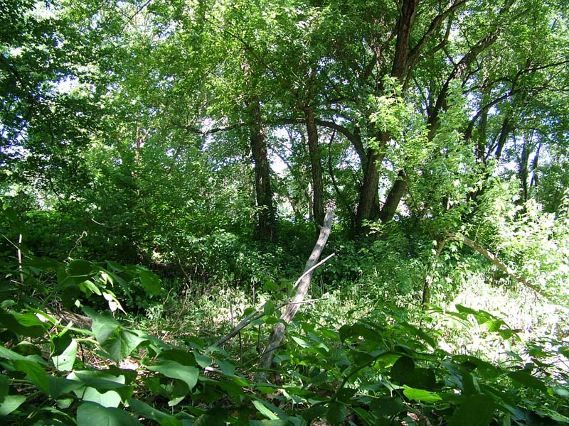
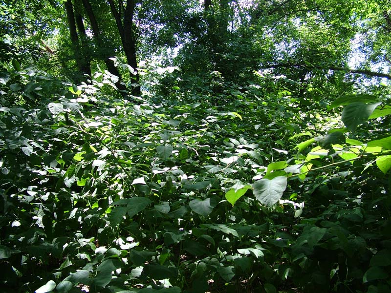
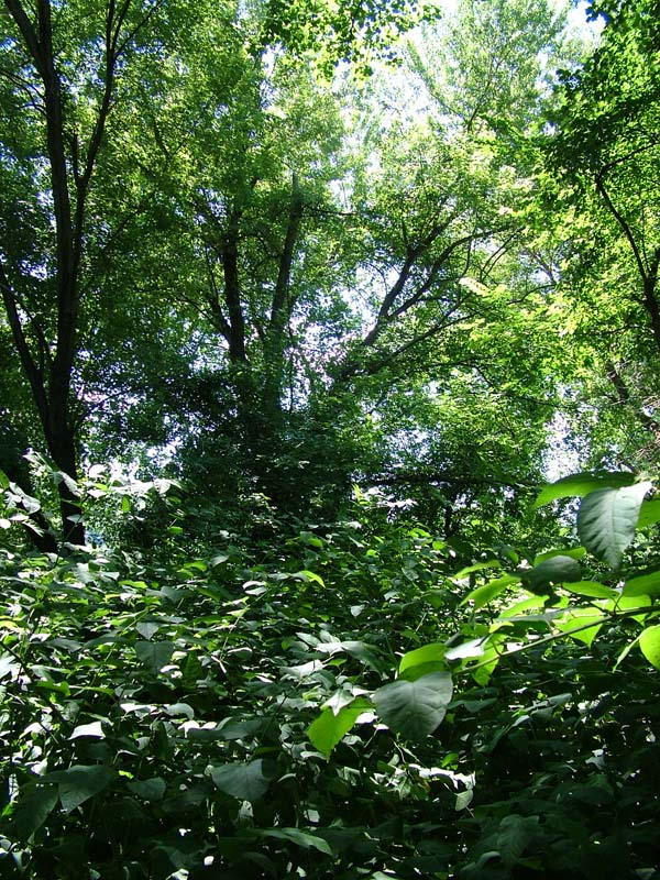
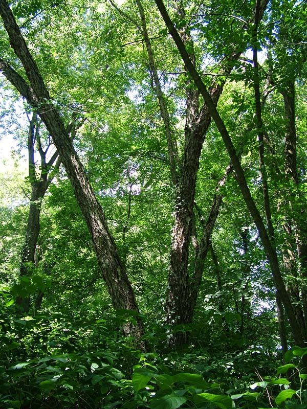
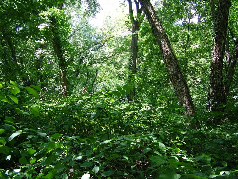
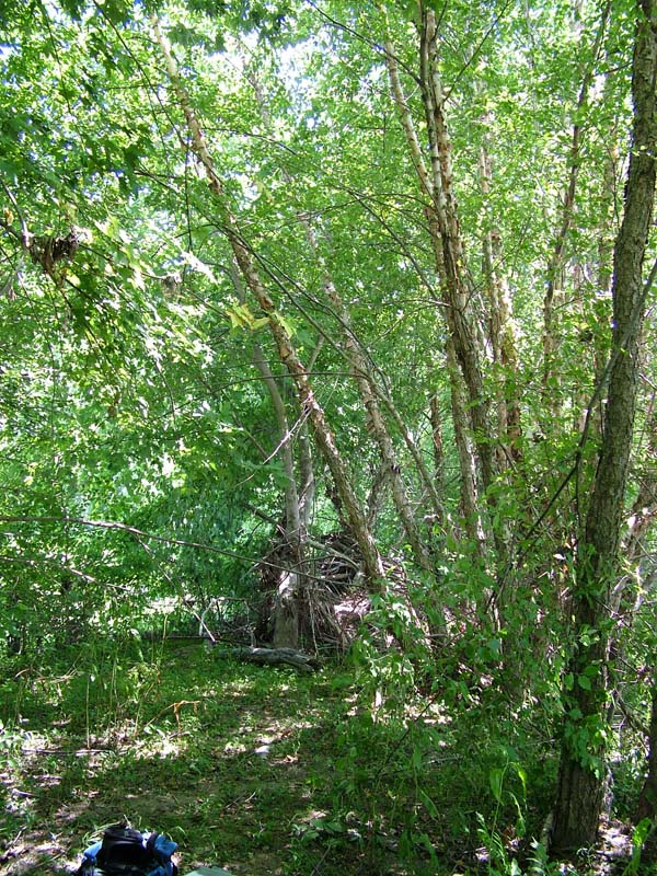
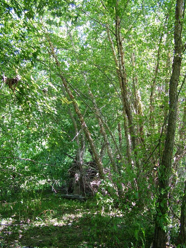
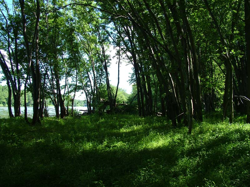
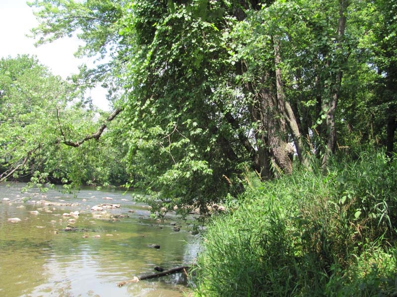
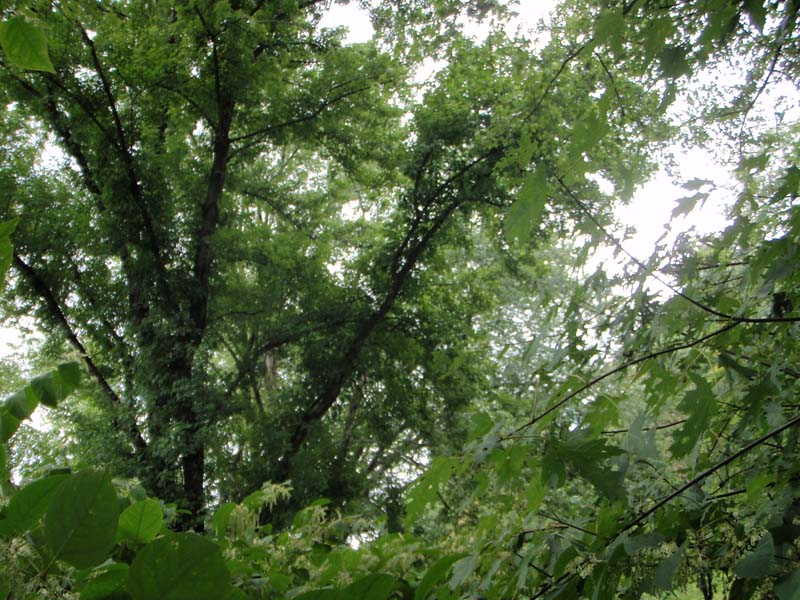
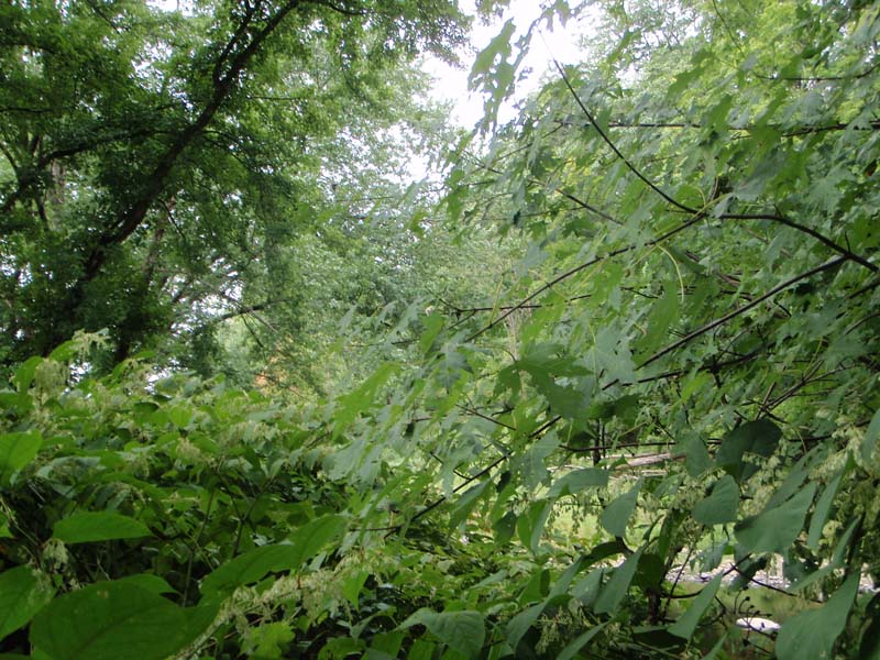
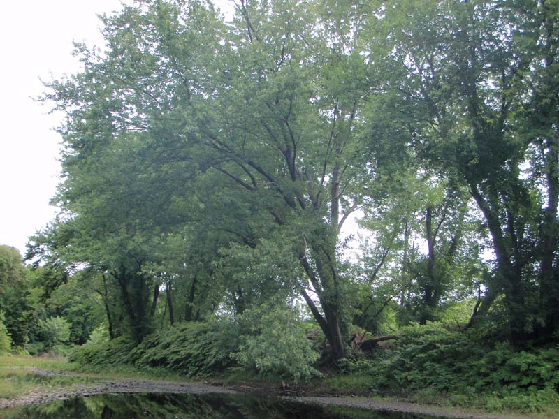
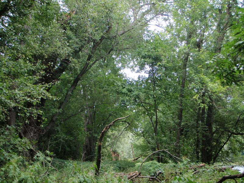
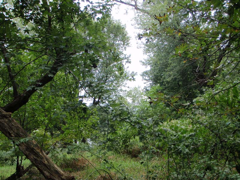
This community is most common on low terraces and levees of the floodplain and islands of large tributaries of the major drainages of Pennsylvania. Soils vary from moderately well-drained (scour zone stands, coarse sand, gravel and/or cobble substrate) to poorly drained (low flood flow velocity areas, sandy loam to silt loam substrates). Island stands tend to have the largest canopy trees on downstream ends of the island with trees becoming progressively smaller and younger towards the upstream end. The canopy of Silver Maple Floodplain Forests is strongly dominated by silver maple (Acer saccharinum), which may be the only canopy tree species present at a site. Other canopy trees, when present, include red maple (Acer rubrum), black willow (Salix nigra), box-elder (Acer negundo), American elm (Ulmus americana), and slippery elm (Ulmus rubra). River birch (Betula nigra) is present in the canopy of Silver Maple Floodplain Forests in the Susquehanna, Potomac, and Delaware river basins.
Shrubs include silky dogwood (Cornus amomum), gray dogwood (Cornus racemosa), poison-ivy (Toxicodendron radicans), spicebush (Lindera benzoin), elderberry (Sambucus canadensis), and arrow-wood (Viburnum recognitum). Herbs include ostrich fern (Matteuccia struthiopteris), jewelweed (Impatiens capensis), pale jewelweed (Impatiens pallida), Turk’s-cap lily (Lilium superbum), clearweed (Pilea pumila), rice cutgrass (Leersia oryzoides), sensitive fern (Onoclea sensibilis), Jack-in-the-pulpit (Arisaema triphyllum), green-dragon (Arisaema dracontium), stout woodreed (Cinna arundinacea), false nettle (Boehmeria cylindrica), common blue violet (Viola sororia), and jumpseed (Persicaria virginianum). Commonly occurring invasive plant species are multiflora rose (Rosa multiflora), Morrow’s honeysuckle (Lonicera morrowii), common privet (Ligustrum vulgare), Japanese barberry (Berberis thunbergii), Japanese stiltgrass (Microstegium vimineum), Japanese knotweed (Fallopia japonica), and garlic-mustard (Alliaria petiolata).
Forest quality varies considerably across the range of this community type in Pennsylvania. Most stands exhibit a moderately open understory and regeneration of overstory trees has been a concern in Silver Maple Floodplain Forests in the region due to changes in frequency and duration of flooding events and invasion of exotic invasive plants.
Rank Justification
Uncommon but not rare; some cause for long-term concern due to declines or other factors.
Identification
- Found on floodplains of large creeks and rivers
- Canopy dominated by silver maple
Trees
Shrubs
Herbs
- Ostrich fern (Matteuccia struthiopteris)
- Jewelweed (Impatiens capensis)
- Turk's-cap lily (Lilium superbum)
- Clearweed (Pilea pumila)
- Rice cutgrass (Leersia oryzoides)
- Sensitive fern (Onoclea sensibilis)
- Jack-in-the-pulpit (Arisaema triphyllum)
- Green-dragon (Arisaema dracontium)
- Wood reedgrass (Cinna arundinacea)
- False nettle (Boehmeria cylindrica)
- Common blue violet (Viola sororia)
- Jumpseed (Persicaria virginiana)
* limited to sites with higher soil calcium
Vascular plant nomenclature follows Rhoads and Block (2007). Bryophyte nomenclature follows Crum and Anderson (1981).
International Vegetation Classification Associations:
USNVC Crosswalk:None
Representative Community Types:
Silver Maple Floodplain Bottom Forest (Sensitive Fern Type) (CEGL006176)
Silver Maple Floodplain Levee Forest (CEGL006147)
Silver Maple - Elm Forest (CEGL002586)
NatureServe Ecological Systems:
Central Appalachian River Floodplain (CES202.608)
NatureServe Group Level:
None
Origin of Concept
Fike, J. 1999. Terrestrial and palustrine plant communities of Pennsylvania. Pennsylvania Natural Diversity Inventory. Pennsylvania Department of Conservation and Recreation, Bureau of Forestry, Harrisburg, PA. 86 pp.
Zimmerman, E., and G. Podniesinski. 2008. Classification, Assessment and Protection of Floodplain Wetlands of the Ohio Drainage. Pennsylvania Natural Heritage Program, Western Pennsylvania Conservancy, Pittsburgh, PA. Report to: The United States Environmental Protection Agency and the Pennsylvania Department of Conservation and Natural Resources, Office of Conservation Science. US EPA Wetlands Protection State Development Grant no. CD-973081-01-0., Pennsylvania Natural Heritage Program. 2004. Classification, Assessment and Protection of Non-Forested Floodplain Wetlands of the Susquehanna Drainage. Report to: The United States Environmental Protection Agency and the Pennsylvania Department of Conservation and Natural Resources, Bureau of Forestry, Ecological Services Section. US EPA Wetlands Protection State Development Grant no. CD-98337501.
Pennsylvania Community Code*
SM : Silver Maple Floodplain Forest
*(DCNR 1999, Stone 2006)
Similar Ecological Communities
Sugar Maple – Mixed Hardwood Floodplain Forests contain a greater diversity of canopy trees than the Silver Maple Floodplain Forest, which is dominated mainly by silver maple (Acer saccharinum). Sugar Maple – Mixed Hardwood Floodplain Forests are limited to rich sites on small to medium size tributaries. In addition to a greater diversity of canopy trees, including white ash and basswood, Sugar Maple – Mixed Hardwood Floodplain Forests exhibit a more diverse vernal flora than do the Silver Maple Floodplain Forest as nutrients, especially calcium are more available and sites are more protected from high intensity, long duration spring floods. Sugar Maple – Mixed Hardwood Floodplain Forests typically have more structural diversity than the Silver Maple Floodplain Forest types, with small trees and shrubs common in the subcanopy.
Fike Crosswalk
Silver Maple Floodplain Forest
Conservation Value
While this type itself is not rare in Pennsylvania, large contiguous forested floodplains along stretches of free flowing river are uncommon. Due to the widespread conversion to agriculture and development, large patches of floodplain forest are uncommon in Pennsylvania and hold high conservation significance. This community also serves as a buffer for sediment and pollution runoff from adjacent developed lands by slowing the flow of surficial water causing sediment to settle within this wetland.
Threats
Alteration to the frequency and duration of flood events and development of the river floodplains are the two greatest threats to this community statewide and can lead to habitat destruction and/or shifts in community function and dynamics. Non-native invasive plants may be equally devastating as native floodplain plants are displaced. Robust clonal invasive species such as Japanese knotweed (Fallopia japonica) may interfere with seedling recruitment in the understory. Development of adjacent land can lead to an accumulation of agricultural run-off and pollution, sedimentation, and insolation/thermal pollution.
Management
Direct impacts to floodplain ecosystems (e.g., road construction, development, filling of wetlands) altered their composition, structure, and function statewide. Further impacts that alter riparian function of the remaining areas should therefore be avoided. When development is unavoidable, low impact alternatives (e.g., elevated footpaths, boardwalks, bridges, pervious paving) that maintain floodplain processes should be utilized to minimize impacts to natural areas and the plant and animal species within them. Maintenance of natural buffers surrounding high quality examples of floodplain wetlands is recommended in order to minimize nutrient runoff, pollution, and sedimentation. Care should also be taken to control and prevent the spread of invasive species into high quality sites.
As floodplains are dependent on periodic disturbance, natural flooding frequency and duration should be maintained and construction of new dams, levees, or other in-stream modifications should be avoided. Activities resulting in destabilization of the banks or alteration of the disturbance patterns of the site should be avoided. Numerous land use planning recommendations have been proposed to reduce the negative impacts of changing land use on riparian systems. These include protecting riparian buffer habitat, retaining natural areas in developed landscapes, compensating for lost habitat, excluding livestock grazing from riparian areas, providing corridors between riparian and upland habitats, avoiding constructing roads and utility lines through riparian habitat areas, and restoring degraded riparian habitat. Providing the river system some scope to maintain itself may be more cost-effective in the long run than attempts at controlling natural functions through human intervention.
Research Needs
Variations may occur at ecoregional levels. This type occurs across the state, but several sub-types are described in NatureServe’s International Vegetation Classification System, suggesting that more work is needed to investigate differences between silver maple forests across ecoregions. There is need to monitor high quality examples of this community type.
Trends
Silver Maple Floodplain Forests were undoubtedly more common and have declined due to dam impoundments, human development, and farming; modification of the adjacent upland has further impacted the quality of this type. As this type is dependent upon nutrient input and disturbance of flowing water, alteration of the natural flooding regime (duration and frequency) is most likely the most critical factor influencing the quality and persistence of this type. The relative trend for this community is likely stable or may be declining slightly due to development; however, new alterations to river hydrology could result in significant changes to this type. High quality examples are most likely declining due to invasion by exotic plant species and lack of periodic flooding events.
Range Map
Pennsylvania Range
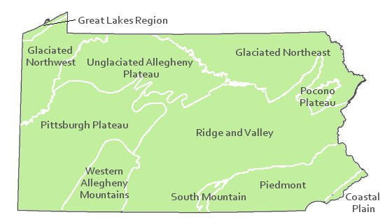
Statewide
Global Distribution
This community occurs throughout the mid-Atlantic U.S. and has been identified in plant community classifications from Pennsylvania, New York, Maryland, and Delaware.
Cowardin, L.M., V. Carter, F.C. Golet, and E.T. La Roe. 1979. Classification of wetlands and deepwater habitats of the United States. U.S. Fish and Wildlife Service. Washington, D.C. 131 pp.
Edinger, Gregory J., D.J. Evans, Shane Gebauer, Timothy G. Howard, David M. Hunt, and Adele M. Olivero. 2002. Ecological Communities of New York State. Second Edition. A revised and expanded edition of Carol Reschke's Ecological Communities of New York State. New York Natural Heritage Program, New York State Department of Environmental Conservation. Albany, NY. 136 pp.
Fike, J. 1999. Terrestrial and palustrine plant communities of Pennsylvania. Pennsylvania Natural Diversity Inventory. Harrisburg, PA. 86 pp.
Khan, Nancy R., Ann F. Rhoads, and Timothy A. Block. 2005. Characterization and assessmant of the Floristic Resources in Evansburg State Park. Report submitted to DCNR, Bureau of State Parks.
Khan, Nancy R., Ann F. Rhoads, and Timothy A. Block. 2008. Vascular flora and community assemblages of Evansburg State Park, Montgomery County, Pennsylvania. Bulletin of the Torrey Botanical Club 135(3): 438-458.
NatureServe. 2009. NatureServe Central Databases. Arlington, Virginia. USA
Pennsylvania Department of Conservation and Natural Resources (DCNR). 1999. Inventory Manual of Procedure. For the Fourth State Forest Management Plan. Pennsylvania Bureau of Forestry, Division of Forest Advisory Service. Harrisburg, PA. 51 ppg.
Pennsylvania Natural Heritage Program. 2002. Classification, Assessment and Protection of Forested Floodplain Wetlands of the Susquehanna Drainage. Report to: The United States Environmental Protection Agency and the Pennsylvania Department of Conservation and Natural Resources, Bureau of Forestry, Ecological Services Section. US EPA Wetlands Protection State Development Grant no. CD-993731.
Rhoads, Ann F. and Timothy A. Block. 1999. Natural Areas Inventory of Bucks County, Pennsylvania. Bucks County Commissioners, Doylestown, PA.
Rhoads, Ann F. and Timothy A. Block. 2002. Survey of Natural Areas of Delaware Canal State Park. Report submitted to DCNR, Bureau of State Parks.
Rhoads, Ann F. and Timothy A. Block. 2002. Survey of Tidal Marsh Natural Area, Neshaminy State Park. Report submitted to DCNR, Bureau of State Parks.
Rhoads, Ann F. and Timothy A. Block. 2008. Natural Areas Inventory Update, Montgomery County, Pennsylvania. Montgomery County Planning Commission, Norristown, PA.
Rhoads, Ann F. and Timothy A. Block. 2008. Vegetation of Ridley Creek State Park. Report submitted to DCNR, Bureau of State Parks.
Stone, B., D. Gustafson, and B. Jones. 2006 (revised). Manual of Procedure for State Game Land Cover Typing. Commonwealth of Pennsylvania Game Commission, Bureau of Wildlife Habitat Management, Forest Inventory and Analysis Section, Forestry Division. Harrisburg, PA. 79 ppg.
Zimmerman, E., and G. Podniesinski. 2008. Classification, Assessment and Protection of
Floodplain Wetlands of the Ohio Drainage. Pennsylvania Natural Heritage Program, Western Pennsylvania Conservancy, Pittsburgh, PA.
Cite as:
Zimmerman, E. 2022. Pennsylvania Natural Heritage Program. Silver Maple Floodplain Forest Factsheet. Available from: https://www.naturalheritage.state.pa.us/Community.aspx?=16026 Date Accessed: July 29, 2026


